
Thank you for supporting this site ❤️
Make a donation
Make a donation
El Mazuco topographic map
Click on the map to display elevation.
Thank you for supporting this site ❤️
Make a donation
Make a donation
About this map
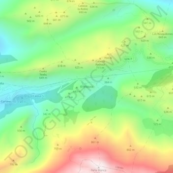
Name: El Mazuco topographic map, elevation, terrain.
Location: El Mazuco, Caldueño, Llanes, Asturias, 33507, España (43.36183 -4.87139 43.40183 -4.83139)
Average elevation: 518 m
Minimum elevation: 103 m
Maximum elevation: 1,167 m
Thank you for supporting this site ❤️
Make a donation
Make a donation
Other topographic maps
Click on a map to view its topography, its elevation and its terrain.