
Thank you for supporting this site ❤️
Make a donation
Make a donation
Rocky Ford topographic map
Click on the map to display elevation.
Thank you for supporting this site ❤️
Make a donation
Make a donation
About this map
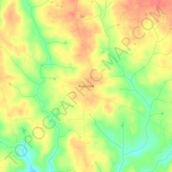
Name: Rocky Ford topographic map, elevation, terrain.
Location: Rocky Ford, Franklin County, North Carolina, United States (36.17987 -78.36333 36.21987 -78.32333)
Average elevation: 106 m
Minimum elevation: 69 m
Maximum elevation: 135 m
Thank you for supporting this site ❤️
Make a donation
Make a donation