
Thank you for supporting this site ❤️
Make a donation
Make a donation
Spring Valley topographic map
Click on the map to display elevation.
Thank you for supporting this site ❤️
Make a donation
Make a donation
About this map
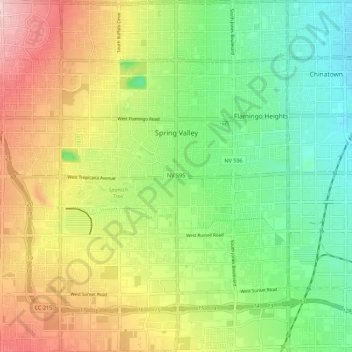
Name: Spring Valley topographic map, elevation, terrain.
Location: Spring Valley, Clark County, Nevada, United States (36.05553 -115.31548 36.14453 -115.20787)
Average elevation: 736 m
Minimum elevation: 653 m
Maximum elevation: 853 m
Thank you for supporting this site ❤️
Make a donation
Make a donation
Other topographic maps
Click on a map to view its topography, its elevation and its terrain.