
格聂镇 topographic map
Interactive map
Click on the map to display elevation.
About this map
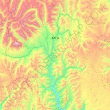
Name: 格聂镇 topographic map, elevation, terrain.
Location: 格聂镇, 理塘县, 甘孜藏族自治州, 四川省, 中国 (29.49035 99.54686 30.00787 100.06777)
Average elevation: 4,517 m
Minimum elevation: 3,421 m
Maximum elevation: 6,116 m
Other topographic maps
Click on a map to view its topography, its elevation and its terrain.