
浛洸镇 topographic map
Interactive map
Click on the map to display elevation.
About this map
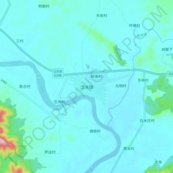
Name: 浛洸镇 topographic map, elevation, terrain.
Location: 浛洸镇, 清远市, 广东省, 中国 (24.22252 113.08439 24.30252 113.16439)
Average elevation: 55 m
Minimum elevation: 27 m
Maximum elevation: 329 m
Other topographic maps
Click on a map to view its topography, its elevation and its terrain.