
下旦 topographic map
Interactive map
Click on the map to display elevation.
About this map
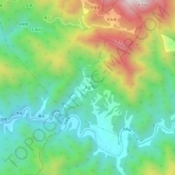
Name: 下旦 topographic map, elevation, terrain.
Location: 下旦, 沐尘畲族乡, 龙游县, 衢州市, 浙江省, 中国 (28.76690 119.23776 28.80690 119.27776)
Average elevation: 499 m
Minimum elevation: 209 m
Maximum elevation: 1,058 m