
Thank you for supporting this site ❤️
Make a donation
Make a donation
Duck Mountain topographic map
Click on the map to display elevation.
Thank you for supporting this site ❤️
Make a donation
Make a donation
About this map
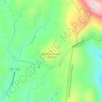
Name: Duck Mountain topographic map, elevation, terrain.
Average elevation: 1,150 m
Minimum elevation: 986 m
Maximum elevation: 1,452 m
Thank you for supporting this site ❤️
Make a donation
Make a donation
Other topographic maps
Click on a map to view its topography, its elevation and its terrain.
Little Tennessee River
United States > North Carolina > Macon County > Franklin > East Franklin
Average elevation: 641 m