
Thank you for supporting this site ❤️
Make a donation
Make a donation
Gunung Gede topographic map
Click on the map to display elevation.
Thank you for supporting this site ❤️
Make a donation
Make a donation
About this map
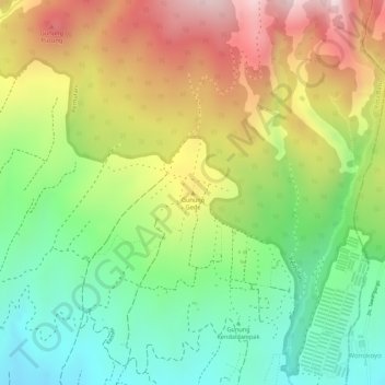
Name: Gunung Gede topographic map, elevation, terrain.
Location: Gunung Gede, Kota Batu, East Java, Java, 65317, Indonesia (-7.82735 112.55785 -7.82725 112.55795)
Average elevation: 1,144 m
Minimum elevation: 953 m
Maximum elevation: 1,367 m
Thank you for supporting this site ❤️
Make a donation
Make a donation