
Thank you for supporting this site ❤️
Make a donation
Make a donation
Koto Tangah topographic map
Click on the map to display elevation.
Thank you for supporting this site ❤️
Make a donation
Make a donation
About this map
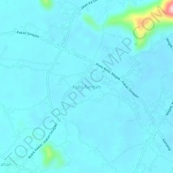
Name: Koto Tangah topographic map, elevation, terrain.
Location: Koto Tangah, Agam, West Sumatra, Sumatra, Indonesia (-0.24470 100.39700 -0.20470 100.43700)
Average elevation: 867 m
Minimum elevation: 847 m
Maximum elevation: 1,086 m
Thank you for supporting this site ❤️
Make a donation
Make a donation
Other topographic maps
Click on a map to view its topography, its elevation and its terrain.