
Thank you for supporting this site ❤️
Make a donation
Make a donation
Batuputih topographic map
Click on the map to display elevation.
Thank you for supporting this site ❤️
Make a donation
Make a donation
About this map
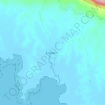
Name: Batuputih topographic map, elevation, terrain.
Location: Batuputih, Sumenep, East Java, Java, Indonesia (-6.91502 115.37276 -6.87502 115.41276)
Average elevation: 16 m
Minimum elevation: -3 m
Maximum elevation: 243 m
Thank you for supporting this site ❤️
Make a donation
Make a donation
Other topographic maps
Click on a map to view its topography, its elevation and its terrain.