
Thank you for supporting this site ❤️
Make a donation
Make a donation
Manguharjo topographic map
Click on the map to display elevation.
Thank you for supporting this site ❤️
Make a donation
Make a donation
About this map
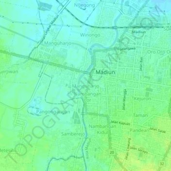
Name: Manguharjo topographic map, elevation, terrain.
Location: Manguharjo, Madiun, East Java, Java, 63129, Indonesia (-7.65224 111.49223 -7.61224 111.53223)
Average elevation: 66 m
Minimum elevation: 60 m
Maximum elevation: 74 m
Thank you for supporting this site ❤️
Make a donation
Make a donation