
Thank you for supporting this site ❤️
Make a donation
Make a donation
kurai gad topographic map
Click on the map to display elevation.
Thank you for supporting this site ❤️
Make a donation
Make a donation
About this map
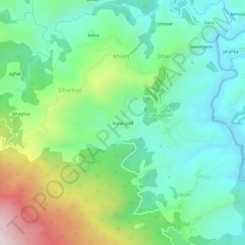
Name: kurai gad topographic map, elevation, terrain.
Location: kurai gad, naugaon, Almora, Uttarakhand, 263601, India (29.57727 79.57627 29.61727 79.61627)
Average elevation: 1,349 m
Minimum elevation: 1,104 m
Maximum elevation: 1,929 m
Thank you for supporting this site ❤️
Make a donation
Make a donation