
Thank you for supporting this site ❤️
Make a donation
Make a donation
Lake Claire topographic map
Click on the map to display elevation.
Thank you for supporting this site ❤️
Make a donation
Make a donation
About this map
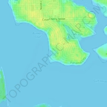
Name: Lake Claire topographic map, elevation, terrain.
Location: Lake Claire, Panama City, Bay County, Florida, United States (30.13643 -85.64759 30.13794 -85.64597)
Average elevation: 3 m
Minimum elevation: -5 m
Maximum elevation: 18 m
Thank you for supporting this site ❤️
Make a donation
Make a donation