
Thank you for supporting this site ❤️
Make a donation
Make a donation
Charekh topographic map
Click on the map to display elevation.
Thank you for supporting this site ❤️
Make a donation
Make a donation
About this map
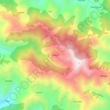
Name: Charekh topographic map, elevation, terrain.
Location: Charekh, Kotdwara, Pauri Garhwal, Uttarakhand, 246127, India (29.81423 78.52520 29.85423 78.56520)
Average elevation: 1,374 m
Minimum elevation: 930 m
Maximum elevation: 1,793 m
Thank you for supporting this site ❤️
Make a donation
Make a donation
Other topographic maps
Click on a map to view its topography, its elevation and its terrain.
Ramganga Dam
India > Uttarakhand > Kotdwara
The dam is a 128 m (420 ft) tall and 630 m (2,067 ft) long earth and rock-fill embankment dam with 10,000,000 m3 (13,079,506 cu yd) of fill. The dam's spillway is controlled by five gates and has a maximum discharge of 8,467 m3/s (299,009 cu ft/s). To support the reservoir's elevation, there is a 72 m (236 ft)…
Average elevation: 389 m
Thank you for supporting this site ❤️
Make a donation
Make a donation