
Thank you for supporting this site ❤️
Make a donation
Make a donation
Mercury topographic map
Click on the map to display elevation.
Thank you for supporting this site ❤️
Make a donation
Make a donation
Mercury
In 1957, the US Navy launched nine atmospheric sounding rockets to measure nuclear radiation and other atmospheric data, using Mercury as a staging area. The Naval Radiological Defense Laboratory conducted its first test flight in 1956. This test rocket lifted 13.6 kilograms (30 lb) to an altitude of 40 kilometres (25 mi).
Thank you for supporting this site ❤️
Make a donation
Make a donation
About this map
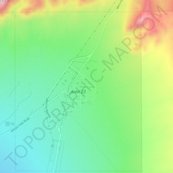
Name: Mercury topographic map, elevation, terrain.
Location: Mercury, Nye County, Nevada, 89023, United States (36.64051 -116.01447 36.68051 -115.97447)
Average elevation: 1,183 m
Minimum elevation: 1,051 m
Maximum elevation: 1,431 m
Thank you for supporting this site ❤️
Make a donation
Make a donation