
Thank you for supporting this site ❤️
Make a donation
Make a donation
Genoa topographic map
Click on the map to display elevation.
Thank you for supporting this site ❤️
Make a donation
Make a donation
About this map
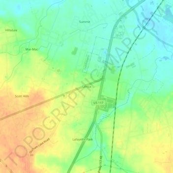
Name: Genoa topographic map, elevation, terrain.
Location: Genoa, Wayne County, North Carolina, 28333, United States (35.30627 -78.06027 35.34627 -78.02027)
Average elevation: 35 m
Minimum elevation: 15 m
Maximum elevation: 58 m
Thank you for supporting this site ❤️
Make a donation
Make a donation
Other topographic maps
Click on a map to view its topography, its elevation and its terrain.