
荣飘村 topographic map
Interactive map
Click on the map to display elevation.
About this map
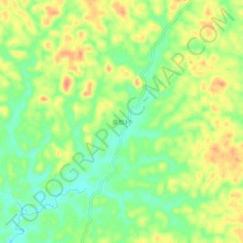
Name: 荣飘村 topographic map, elevation, terrain.
Location: 荣飘村, 博白县, 玉林市, 广西壮族自治区, 543000, 中国 (21.72727 109.86294 21.76727 109.90294)
Average elevation: 58 m
Minimum elevation: 31 m
Maximum elevation: 88 m
Other topographic maps
Click on a map to view its topography, its elevation and its terrain.