
Thank you for supporting this site ❤️
Make a donation
Make a donation
Nomonhan topographic map
Click on the map to display elevation.
Thank you for supporting this site ❤️
Make a donation
Make a donation
About this map
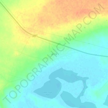
Name: Nomonhan topographic map, elevation, terrain.
Location: Nomonhan, Hulunbuir, Inner Mongolia, China (47.82658 118.78728 47.86658 118.82728)
Average elevation: 744 m
Minimum elevation: 728 m
Maximum elevation: 768 m
Thank you for supporting this site ❤️
Make a donation
Make a donation
Other topographic maps
Click on a map to view its topography, its elevation and its terrain.