
Thank you for supporting this site ❤️
Make a donation
Make a donation
Balangir topographic map
Click on the map to display elevation.
Thank you for supporting this site ❤️
Make a donation
Make a donation
About this map
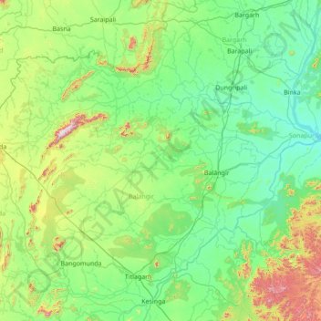
Name: Balangir topographic map, elevation, terrain.
Location: Balangir, Odisha, India (20.05023 82.54995 21.45023 83.94995)
Average elevation: 262 m
Minimum elevation: 98 m
Maximum elevation: 1,000 m
Thank you for supporting this site ❤️
Make a donation
Make a donation