
Thank you for supporting this site ❤️
Make a donation
Make a donation
Gangapura topographic map
Click on the map to display elevation.
Thank you for supporting this site ❤️
Make a donation
Make a donation
About this map
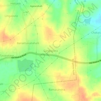
Name: Gangapura topographic map, elevation, terrain.
Location: Gangapura, Hosakote taluk, Bangalore Rural, Karnataka, India (13.11540 77.92688 13.15540 77.96688)
Average elevation: 899 m
Minimum elevation: 877 m
Maximum elevation: 917 m
Thank you for supporting this site ❤️
Make a donation
Make a donation