
Fort Mojave Indian Tribe topographic map
Interactive map
Click on the map to display elevation.
About this map
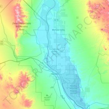
Name: Fort Mojave Indian Tribe topographic map, elevation, terrain.
Average elevation: 362 m
Minimum elevation: 138 m
Maximum elevation: 1,089 m
Other topographic maps
Click on a map to view its topography, its elevation and its terrain.
Mohave Valley
United States > Arizona > Mohave County > Mohave Valley
Mohave Valley, Mohave County, Arizona, United States
Average elevation: 233 m