
Thank you for supporting this site ❤️
Make a donation
Make a donation
Marysville topographic map
Click on the map to display elevation.
Thank you for supporting this site ❤️
Make a donation
Make a donation
About this map
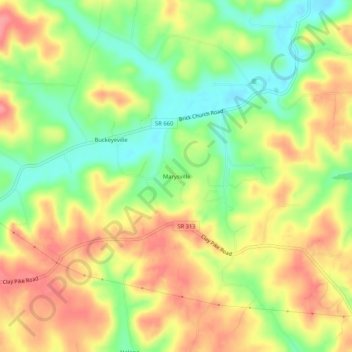
Name: Marysville topographic map, elevation, terrain.
Location: Marysville, Guernsey County, Ohio, United States (39.92729 -81.62346 39.96729 -81.58346)
Average elevation: 284 m
Minimum elevation: 240 m
Maximum elevation: 325 m
Thank you for supporting this site ❤️
Make a donation
Make a donation