
Thank you for supporting this site ❤️
Make a donation
Make a donation
Sandfield topographic map
Click on the map to display elevation.
Thank you for supporting this site ❤️
Make a donation
Make a donation
About this map
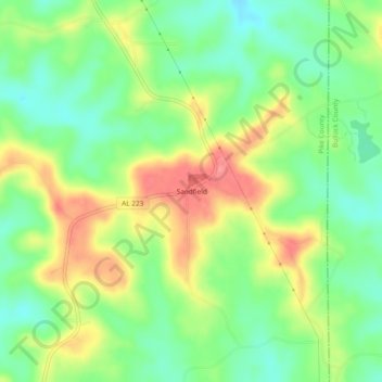
Name: Sandfield topographic map, elevation, terrain.
Location: Sandfield, Pike County, Alabama, United States (31.88599 -85.82773 31.92599 -85.78773)
Average elevation: 156 m
Minimum elevation: 119 m
Maximum elevation: 206 m
Thank you for supporting this site ❤️
Make a donation
Make a donation