
Thank you for supporting this site ❤️
Make a donation
Make a donation
Kongole topographic map
Click on the map to display elevation.
Thank you for supporting this site ❤️
Make a donation
Make a donation
About this map
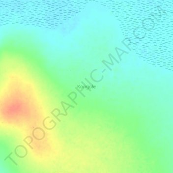
Name: Kongole topographic map, elevation, terrain.
Location: Kongole, Bukedea, Eastern Region, Uganda (1.51333 34.13000 1.55333 34.17000)
Average elevation: 1,058 m
Minimum elevation: 1,043 m
Maximum elevation: 1,085 m
Thank you for supporting this site ❤️
Make a donation
Make a donation