
Thank you for supporting this site ❤️
Make a donation
Make a donation
Green Valley topographic map
Click on the map to display elevation.
Thank you for supporting this site ❤️
Make a donation
Make a donation
About this map
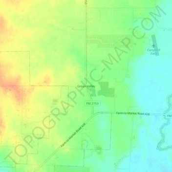
Name: Green Valley topographic map, elevation, terrain.
Location: Green Valley, Denton, Denton County, Texas, United States (33.29345 -97.08418 33.33345 -97.04418)
Average elevation: 180 m
Minimum elevation: 161 m
Maximum elevation: 202 m
Thank you for supporting this site ❤️
Make a donation
Make a donation
Other topographic maps
Click on a map to view its topography, its elevation and its terrain.