
Thank you for supporting this site ❤️
Make a donation
Make a donation
Frost topographic map
Click on the map to display elevation.
Thank you for supporting this site ❤️
Make a donation
Make a donation
About this map
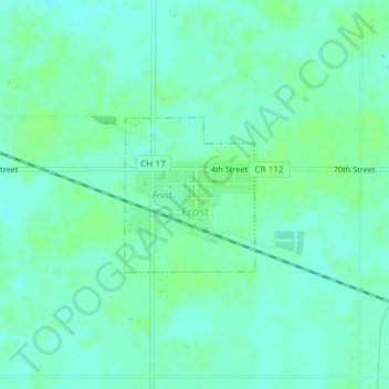
Name: Frost topographic map, elevation, terrain.
Location: Frost, Faribault County, Minnesota, United States (43.57952 -93.93080 43.59028 -93.91829)
Average elevation: 342 m
Minimum elevation: 337 m
Maximum elevation: 346 m
Thank you for supporting this site ❤️
Make a donation
Make a donation
Other topographic maps
Click on a map to view its topography, its elevation and its terrain.