
Thank you for supporting this site ❤️
Make a donation
Make a donation
Dwale topographic map
Click on the map to display elevation.
Thank you for supporting this site ❤️
Make a donation
Make a donation
About this map
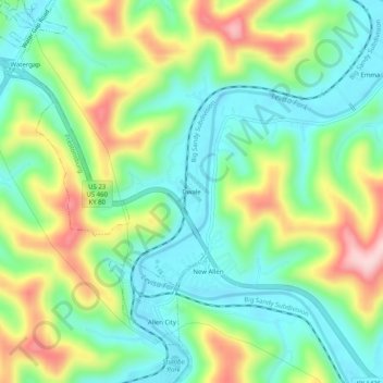
Name: Dwale topographic map, elevation, terrain.
Location: Dwale, Floyd County, Kentucky, 41621, United States (37.60315 -82.74377 37.64315 -82.70377)
Average elevation: 270 m
Minimum elevation: 185 m
Maximum elevation: 430 m
Thank you for supporting this site ❤️
Make a donation
Make a donation
Other topographic maps
Click on a map to view its topography, its elevation and its terrain.