
香花桥街道 topographic map
Interactive map
Click on the map to display elevation.
About this map
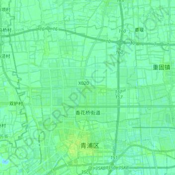
Name: 香花桥街道 topographic map, elevation, terrain.
Location: 香花桥街道, 青浦区, 上海市, 中国 (31.14184 121.05642 31.23576 121.18821)
Average elevation: 4 m
Minimum elevation: -2 m
Maximum elevation: 8 m
Other topographic maps
Click on a map to view its topography, its elevation and its terrain.