
三合屯 topographic map
Interactive map
Click on the map to display elevation.
About this map
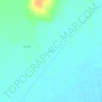
Name: 三合屯 topographic map, elevation, terrain.
Location: 三合屯, 宝山乡, 甘南县, 齐齐哈尔市, 黑龙江省, 中国 (48.14564 123.98325 48.18564 124.02325)
Average elevation: 184 m
Minimum elevation: 178 m
Maximum elevation: 212 m