
Thank you for supporting this site ❤️
Make a donation
Make a donation
Gunbower topographic map
Click on the map to display elevation.
Thank you for supporting this site ❤️
Make a donation
Make a donation
About this map
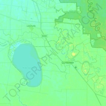
Name: Gunbower topographic map, elevation, terrain.
Location: Gunbower, Shire of Campaspe, Victoria, 3566, Australia (-36.00330 144.25931 -35.88414 144.44951)
Average elevation: 86 m
Minimum elevation: 80 m
Maximum elevation: 95 m
Thank you for supporting this site ❤️
Make a donation
Make a donation