
Thank you for supporting this site ❤️
Make a donation
Make a donation
Rumuomasi topographic map
Click on the map to display elevation.
Thank you for supporting this site ❤️
Make a donation
Make a donation
About this map
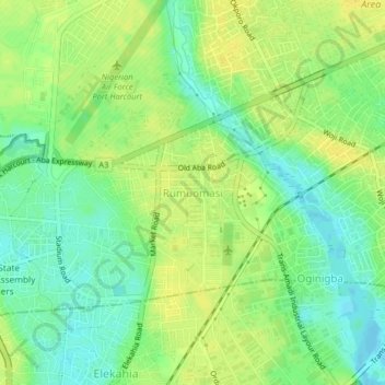
Name: Rumuomasi topographic map, elevation, terrain.
Location: Rumuomasi, Obio/Akpor, Rivers State, 500211, Nigeria (4.81308 7.00921 4.85308 7.04921)
Average elevation: 12 m
Minimum elevation: -1 m
Maximum elevation: 21 m
Thank you for supporting this site ❤️
Make a donation
Make a donation