
Thank you for supporting this site ❤️
Make a donation
Make a donation
Keener Cave topographic map
Click on the map to display elevation.
Thank you for supporting this site ❤️
Make a donation
Make a donation
About this map
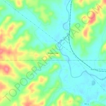
Name: Keener Cave topographic map, elevation, terrain.
Location: Keener Cave, Wayne County, Missouri, United States (36.90922 -90.54511 36.94922 -90.50511)
Average elevation: 135 m
Minimum elevation: 107 m
Maximum elevation: 190 m
Thank you for supporting this site ❤️
Make a donation
Make a donation
Other topographic maps
Click on a map to view its topography, its elevation and its terrain.