
Thank you for supporting this site ❤️
Make a donation
Make a donation
Kalimalang topographic map
Click on the map to display elevation.
Thank you for supporting this site ❤️
Make a donation
Make a donation
About this map
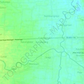
Name: Kalimalang topographic map, elevation, terrain.
Location: Kalimalang, Ponorogo, East Java, Java, 63414, Indonesia (-7.88715 111.41779 -7.84715 111.45779)
Average elevation: 98 m
Minimum elevation: 91 m
Maximum elevation: 105 m
Thank you for supporting this site ❤️
Make a donation
Make a donation
Other topographic maps
Click on a map to view its topography, its elevation and its terrain.