
Thank you for supporting this site ❤️
Make a donation
Make a donation
Amherst topographic map
Click on the map to display elevation.
Thank you for supporting this site ❤️
Make a donation
Make a donation
About this map
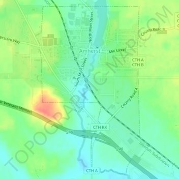
Name: Amherst topographic map, elevation, terrain.
Location: Amherst, Portage County, Wisconsin, United States (44.43197 -89.29612 44.45774 -89.27216)
Average elevation: 328 m
Minimum elevation: 310 m
Maximum elevation: 359 m
Thank you for supporting this site ❤️
Make a donation
Make a donation
Other topographic maps
Click on a map to view its topography, its elevation and its terrain.