
Thank you for supporting this site ❤️
Make a donation
Make a donation
Neshkoro topographic map
Click on the map to display elevation.
Thank you for supporting this site ❤️
Make a donation
Make a donation
About this map
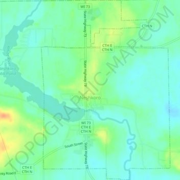
Name: Neshkoro topographic map, elevation, terrain.
Location: Neshkoro, Marquette County, Wisconsin, 54960, United States (43.95153 -89.22945 43.98273 -89.19836)
Average elevation: 248 m
Minimum elevation: 236 m
Maximum elevation: 273 m
Thank you for supporting this site ❤️
Make a donation
Make a donation
Other topographic maps
Click on a map to view its topography, its elevation and its terrain.