
Thank you for supporting this site ❤️
Make a donation
Make a donation
Buffalo topographic map
Click on the map to display elevation.
Thank you for supporting this site ❤️
Make a donation
Make a donation
About this map
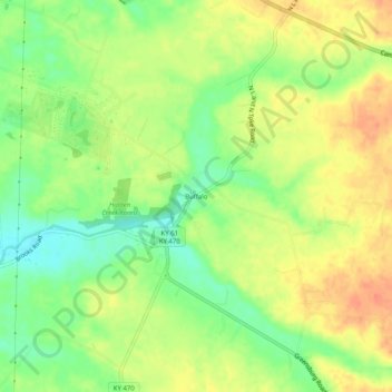
Name: Buffalo topographic map, elevation, terrain.
Location: Buffalo, Larue County, Kentucky, United States (37.49200 -85.71857 37.53200 -85.67857)
Average elevation: 246 m
Minimum elevation: 220 m
Maximum elevation: 269 m
Thank you for supporting this site ❤️
Make a donation
Make a donation
Other topographic maps
Click on a map to view its topography, its elevation and its terrain.