
Thank you for supporting this site ❤️
Make a donation
Make a donation
Kande topographic map
Click on the map to display elevation.
Thank you for supporting this site ❤️
Make a donation
Make a donation
About this map
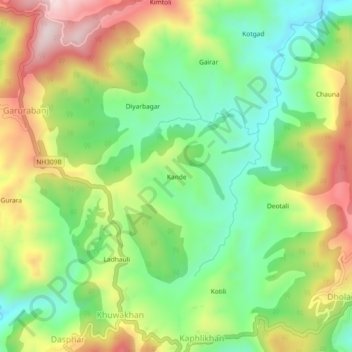
Name: Kande topographic map, elevation, terrain.
Location: Kande, Bhanoli, Almora, Uttarakhand, 263623, India (29.57227 79.83601 29.61227 79.87601)
Average elevation: 1,817 m
Minimum elevation: 1,618 m
Maximum elevation: 2,096 m
Thank you for supporting this site ❤️
Make a donation
Make a donation