
Thank you for supporting this site ❤️
Make a donation
Make a donation
Lake Henderson topographic map
Click on the map to display elevation.
Thank you for supporting this site ❤️
Make a donation
Make a donation
About this map
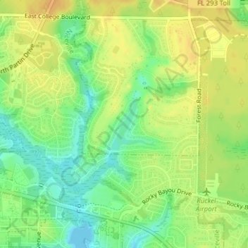
Name: Lake Henderson topographic map, elevation, terrain.
Location: Lake Henderson, Okaloosa County, Florida, United States (30.51984 -86.44993 30.52548 -86.44431)
Average elevation: 17 m
Minimum elevation: -1 m
Maximum elevation: 29 m
Thank you for supporting this site ❤️
Make a donation
Make a donation
Other topographic maps
Click on a map to view its topography, its elevation and its terrain.