
Thank you for supporting this site ❤️
Make a donation
Make a donation
Kerr topographic map
Click on the map to display elevation.
Thank you for supporting this site ❤️
Make a donation
Make a donation
About this map
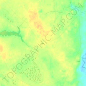
Name: Kerr topographic map, elevation, terrain.
Location: Kerr, Sampson County, North Carolina, United States (34.63628 -78.30194 34.67628 -78.26194)
Average elevation: 23 m
Minimum elevation: 5 m
Maximum elevation: 32 m
Thank you for supporting this site ❤️
Make a donation
Make a donation
Other topographic maps
Click on a map to view its topography, its elevation and its terrain.