
Thank you for supporting this site ❤️
Make a donation
Make a donation
Hunters topographic map
Click on the map to display elevation.
Thank you for supporting this site ❤️
Make a donation
Make a donation
About this map
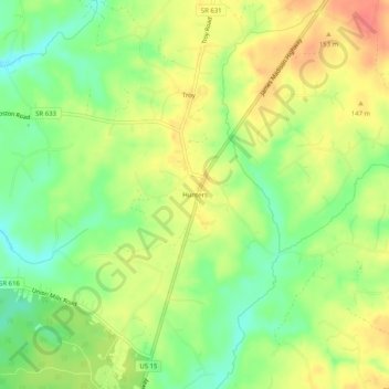
Name: Hunters topographic map, elevation, terrain.
Location: Hunters, Fluvanna County, Virginia, 22974, United States (37.92070 -78.26556 37.96070 -78.22556)
Average elevation: 132 m
Minimum elevation: 102 m
Maximum elevation: 163 m
Thank you for supporting this site ❤️
Make a donation
Make a donation
Other topographic maps
Click on a map to view its topography, its elevation and its terrain.