
Snowdon topographic map
Interactive map
Click on the map to display elevation.


Snowdon
Snowdon (/ˈsnoʊdən/) or Yr Wyddfa (pronounced [ər ˈʊɨ̞̯ðva] (listen)), is the highest mountain in Wales, at an elevation of 1,085 metres (3,560 ft) above sea level, and the highest point in the British Isles outside the Scottish Highlands. It is located in Snowdonia National Park (Parc Cenedlaethol Eryri) in Gwynedd (historic county of Caernarfonshire).
About this map
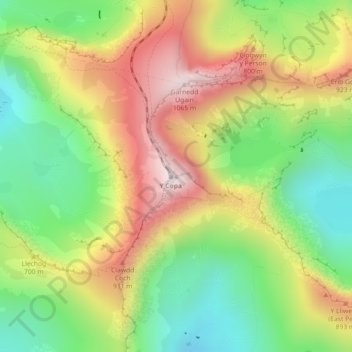
Name: Snowdon topographic map, elevation, terrain.
Average elevation: 692 m
Minimum elevation: 390 m
Maximum elevation: 1,061 m