
Thank you for supporting this site ❤️
Make a donation
Make a donation
Cenera topographic map
Click on the map to display elevation.
Thank you for supporting this site ❤️
Make a donation
Make a donation
About this map
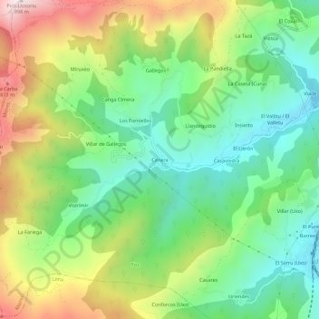
Name: Cenera topographic map, elevation, terrain.
Location: Cenera, Mieres, Asturias, 33615, España (43.19778 -5.83884 43.23778 -5.79884)
Average elevation: 511 m
Minimum elevation: 231 m
Maximum elevation: 985 m
Thank you for supporting this site ❤️
Make a donation
Make a donation