
Thank you for supporting this site ❤️
Make a donation
Make a donation
Felton topographic map
Click on the map to display elevation.
Thank you for supporting this site ❤️
Make a donation
Make a donation
About this map
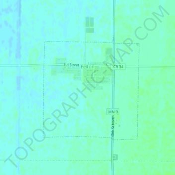
Name: Felton topographic map, elevation, terrain.
Location: Felton, Clay County, Minnesota, United States (47.06720 -96.51647 47.08335 -96.49470)
Average elevation: 279 m
Minimum elevation: 276 m
Maximum elevation: 283 m
Thank you for supporting this site ❤️
Make a donation
Make a donation
Other topographic maps
Click on a map to view its topography, its elevation and its terrain.
Thank you for supporting this site ❤️
Make a donation
Make a donation
confluence of Red River of the North and Buffalo River
United States > Minnesota > Clay County
Average elevation: 268 m