
Thank you for supporting this site ❤️
Make a donation
Make a donation
Kanathur topographic map
Click on the map to display elevation.
Thank you for supporting this site ❤️
Make a donation
Make a donation
About this map
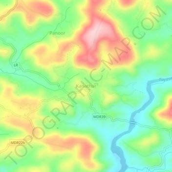
Name: Kanathur topographic map, elevation, terrain.
Location: Kanathur, Kasaragod, Kasaragod District, Kerala, 671541, India (12.48322 75.12591 12.52322 75.16591)
Average elevation: 106 m
Minimum elevation: 11 m
Maximum elevation: 233 m
Thank you for supporting this site ❤️
Make a donation
Make a donation
Other topographic maps
Click on a map to view its topography, its elevation and its terrain.