
Croscombe topographic map
Click on the map to display elevation.
About this map
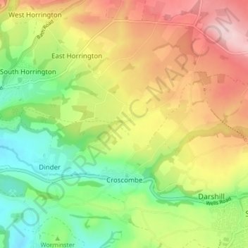
Name: Croscombe topographic map, elevation, terrain.
Location: Croscombe, Somerset, England, United Kingdom (51.18492 -2.60205 51.22801 -2.54646)
Average elevation: 154 m
Minimum elevation: 39 m
Maximum elevation: 291 m
Other topographic maps
Click on a map to view its topography, its elevation and its terrain.