
Thank you for supporting this site ❤️
Make a donation
Make a donation
Dhordo topographic map
Click on the map to display elevation.
Thank you for supporting this site ❤️
Make a donation
Make a donation
About this map
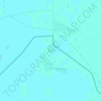
Name: Dhordo topographic map, elevation, terrain.
Location: Dhordo, Bhuj Taluka, Kachchh, Gujarat, 370510, India (23.73849 69.49056 23.77849 69.53056)
Average elevation: 4 m
Minimum elevation: 3 m
Maximum elevation: 7 m
Thank you for supporting this site ❤️
Make a donation
Make a donation