
Thank you for supporting this site ❤️
Make a donation
Make a donation
Hollowtown topographic map
Click on the map to display elevation.
Thank you for supporting this site ❤️
Make a donation
Make a donation
About this map
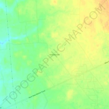
Name: Hollowtown topographic map, elevation, terrain.
Location: Hollowtown, Highland County, Ohio, United States (39.09173 -83.80159 39.13173 -83.76159)
Average elevation: 312 m
Minimum elevation: 296 m
Maximum elevation: 324 m
Thank you for supporting this site ❤️
Make a donation
Make a donation
Other topographic maps
Click on a map to view its topography, its elevation and its terrain.