
Haut Pré topographic map
Interactive map
Click on the map to display elevation.
About this map
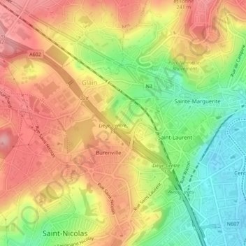
Name: Haut Pré topographic map, elevation, terrain.
Location: Haut Pré, Burenville, Glain, Luik, Wallonië, 4000, België (50.63371 5.53771 50.65371 5.55771)
Average elevation: 136 m
Minimum elevation: 65 m
Maximum elevation: 194 m