
Thank you for supporting this site ❤️
Make a donation
Make a donation
Balai Jaya topographic map
Click on the map to display elevation.
Thank you for supporting this site ❤️
Make a donation
Make a donation
About this map
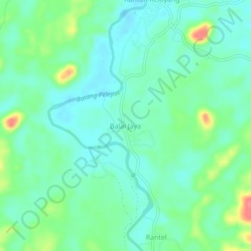
Name: Balai Jaya topographic map, elevation, terrain.
Location: Balai Jaya, Bungo, Jambi, Sumatra, Indonesia (-1.76247 102.11718 -1.72247 102.15718)
Average elevation: 76 m
Minimum elevation: 56 m
Maximum elevation: 131 m
Thank you for supporting this site ❤️
Make a donation
Make a donation
Other topographic maps
Click on a map to view its topography, its elevation and its terrain.