
Thank you for supporting this site ❤️
Make a donation
Make a donation
Bošnjaci topographic map
Click on the map to display elevation.
Thank you for supporting this site ❤️
Make a donation
Make a donation
About this map
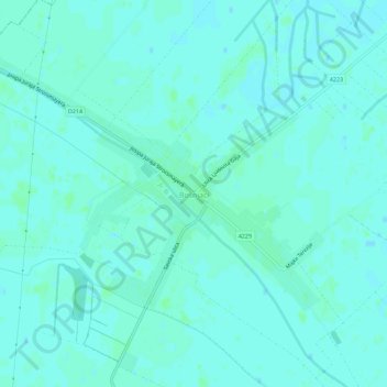
Name: Bošnjaci topographic map, elevation, terrain.
Average elevation: 82 m
Minimum elevation: 79 m
Maximum elevation: 85 m
Thank you for supporting this site ❤️
Make a donation
Make a donation
Other topographic maps
Click on a map to view its topography, its elevation and its terrain.
Vinkovci
Croatia > Vukovar-Srijem County
Vinkovci is located in the eastern part of the Slavonia region, 19 km (12 mi) southwest of Vukovar, 24 km (15 mi) north of Županja and 43 km (27 mi) south of Osijek. The city lies in a flatland on the Bosut river, at an elevation of approx. 90 metres (300 ft), and has a mild continental climate. Vinkovci is…
Average elevation: 88 m